
The LandscapeHalifax is the capital city of Nova Scotia located in the Appalachian region. Nova Scotia is surrounded by water and Halifax borders on the North Atlantic Ocean. Nova Scotia also has thousands of lakes and rivers running throughout the province. All of these rivers start in the Atlantic Upland, then make their way to the lowlands. These rivers usually are about 80 km long, and very narrow. The largest fresh water source found in Nova Scotia is Lake Ainslie, which is approximately 20 km long and 3-5 km wide, varying in different places. The fact that Halifax is located on the Atlantic Ocean and is surrounded by other lakes and rivers historically made it a very good place to locate the city. The harbour and port the exits today allow the city to act a major transportation centre for the region. This allows Halifax to continue to grow as a city as much of the import and export of Canada goes through the city.
Some of the bodies of water surrounding Halifax are:
Because of the amount of water surrounding the Halifax Regional Municipality, there is a large a out of hydro-electric and tidal power generating plants. The landscape is being sufficiently used to power the city.
Over half of Nova Scotia is within the Atlantic Upland zone. The ground in this area is composed of granite, quartzite and slates. The highest point of land is found in Cape Breton Island, located NE of Halifax. It is 532 m above sea level, although the average hight of the uplands is 300 m.
Inland, the many forests within the Halifax Regional Municipality provide lumber for the province's pulp and paper industry. In the lowlands, the land is significantly flatter and allows for agriculture and crops such as grain, hay, fruit and vegetables. |

The landscape in the Halifax Regional Municipality consists of the Atlantic Ocean and many other waterways, spruce tree forests, the Appalachian mountain range and natural harbours.

Natural harbours allow for Halifax ports.

Wind Farm.
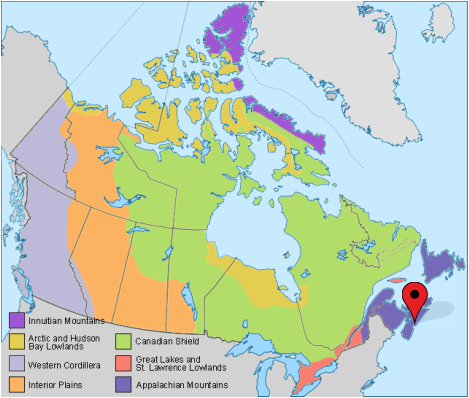
A regional map of Canada. The red pin represents the location of Halifax.
|
Nova Scotia's Provincial Berry
Wild blueberries.
|
Nova Scotia's Provincial Flower
The Mayflower.
|
